Building Resilience to Landslides
in Nepal

Active
Nepal
Climate resilience
Landslides are most likely to happen in poor areas, where people are most vulnerable to their impact. But new technology is helping people become more resilient to them.
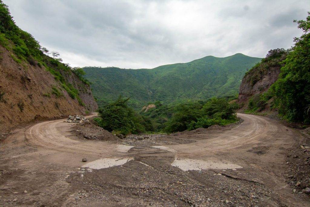
Landslides are more likely to happen in mountainous places, such as Nepal. The high levels of poverty in the country’s most at risk areas, and the lack of protective structures and services, means that the impact of landslides on people’s lives and livelihoods is also greater. The terrain also makes it difficult to collect the information which would help to build resilience.
Project Overview
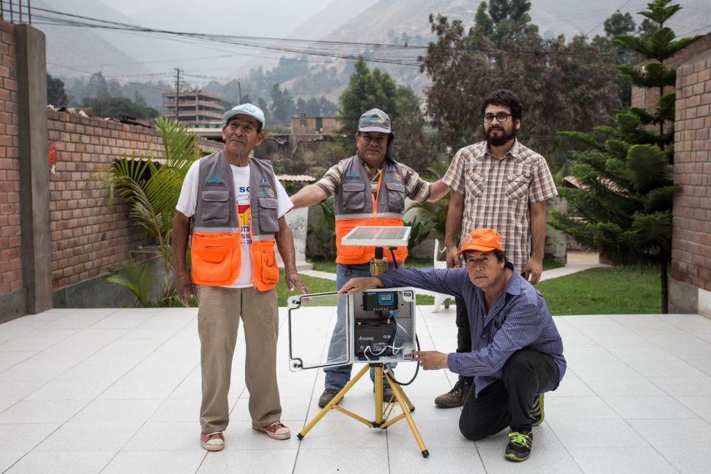
Innovative sensors, which can be used to monitor the conditions associated with landslides, mean that scientists can address the lack of information by working alongside members of the community. Working together, they gather data and produce new knowledge about landslide risk.
The project is based on a ‘citizen science’ approach, which brings in community members to collect and analyse the information gathered through the sensors. This keeps the needs and priorities of the community at the centre of the research, develops local ownership of the learning and makes the work sustainable.
The information gathered by community members using sensors is combined with satellite data to produce landslide risk and vulnerability maps and identify conditions which trigger landslides.
To read more about this project, visit the SHEAR website here.
Work like this depends on your support
Help us work with communities to tackle some of the world’s toughest problems.